


Visiting summer birds
In the summer on Lord Howe Island we see several birds visiting from the northern hemisphere.
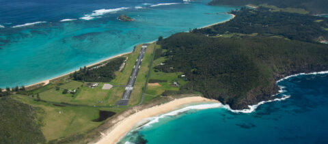
50th Anniversary of the Airstrip
In early September, there were celebrations on the island to mark the 50th anniversary of the construction of the Lord Howe Island airstrip.
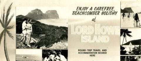
Tourism on Lord Howe Island
Tourism brochures on display at the museum reflect the evolving transportation, accommodation, and experiences on Lord Howe Island over time.
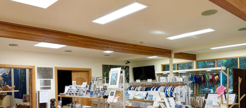
Sponsorship enables LED lights to be installed
Twent-five years after the building was constructed, new LED lights have been installed in all the museum rooms and exhibition areas.