
Lord Howe Island is the last remnant of a hot spot volcanic island that formed seven million years ago.
Originally the island was about 30 kilometres in diameter, but the forces of the ocean have eroded it back to just 11 kilometres long and two kilometres wide. This remnant volcanic geology dominates the landscape with two large mountains 875m and 771m high at the southern end of the island. Very recent sand deposits that blew across the island in the past 160,000 years have been cemented into sandstone rock that covers many parts of the low settled area of the island.
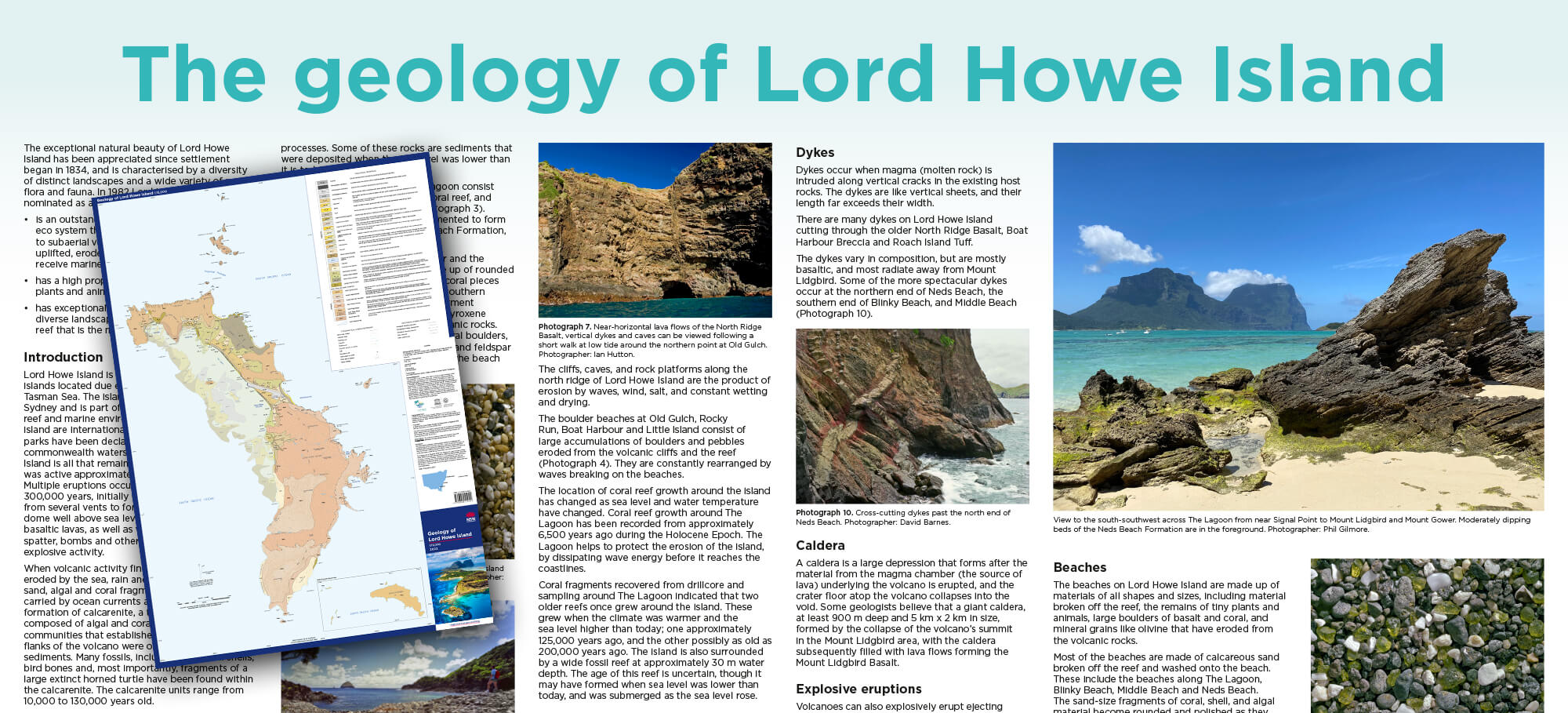
In May 2022 the Geological Survey of NSW published an updated geology map for Lord Howe Island. This has been a major revision of the original map published over 30 years ago.
The new map has more detailed geological units – in both the volcanic and sedimentary deposits; and more accurate boundaries of the units. The map also has on the reverse side detailed text and photos explain the geological process that formed the island, and erosion that has shaped the island to what we see today.
This map updates the 1987 Lord Howe Island Geology poster with new geomorphology and carbonate research, geochronological research and geological mapping. Side one is an extensively revised geological map of the island and surrounds, including subaqueous rock units. Side two provides detailed information and photographs of the geology of Lord Howe Island.
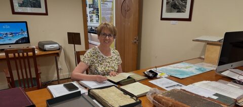
The museum shop has the maps available for $11.
Reference
P.J. Gilmore, K.F. Bull and I. Hutton. 2022. Geology of Lord Howe Island with 1:15,000 scale map. Geological Survey of New South Wales, Maitland, Australia.