
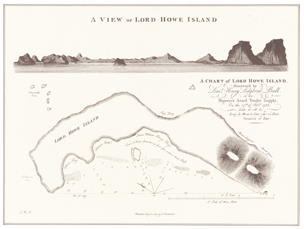
Lord Howe Island was discovered on 17th February 1788, by the First Fleet ship Supply. One of the earliest maps made of the Island is this 1789 map by John Stockdale, England.
Mr Bradley Trevor Greives kindly sponsored the purchase and framing of this map in 2005.
This map provides a valuable addition to the museum collection and forms an integral part of the Discovery displays in the James Dorman Historical Gallery.